
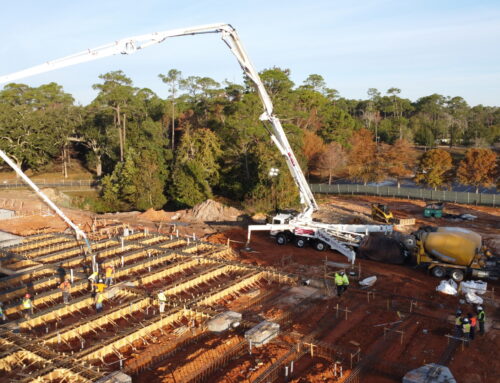
Eustis Engineering L.L.C. is working alongside Neel-Schaffer for the St. Tammany Parish Government and the St. Tammany Levee, Drainage and Conservation District to determine conceptual-level designs and order-of-magnitude cost estimates for design and construction of flood protection along four determined alignments. All four alignments are being considered for 100-year protection. The Lacombe Ring Levee, West Slidell Ring Levee, and Eden Isle Ring Levee are also being considered for 50-year protection levels. Neel-Schafer allocated a three-part scope of service to Eustis Engineering:
Task 1: Geotechnical Data Gap Analysis Considering Historical Project Data Provided by Eustis Engineering
Task 2: Desktop Information to Inform a Conceptual Design and an Order-of-Magnitude Cost Estimate
Task 3: Geotechnical Data Collection for Detailed Geotechnical, Civil, and Structural Design
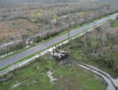
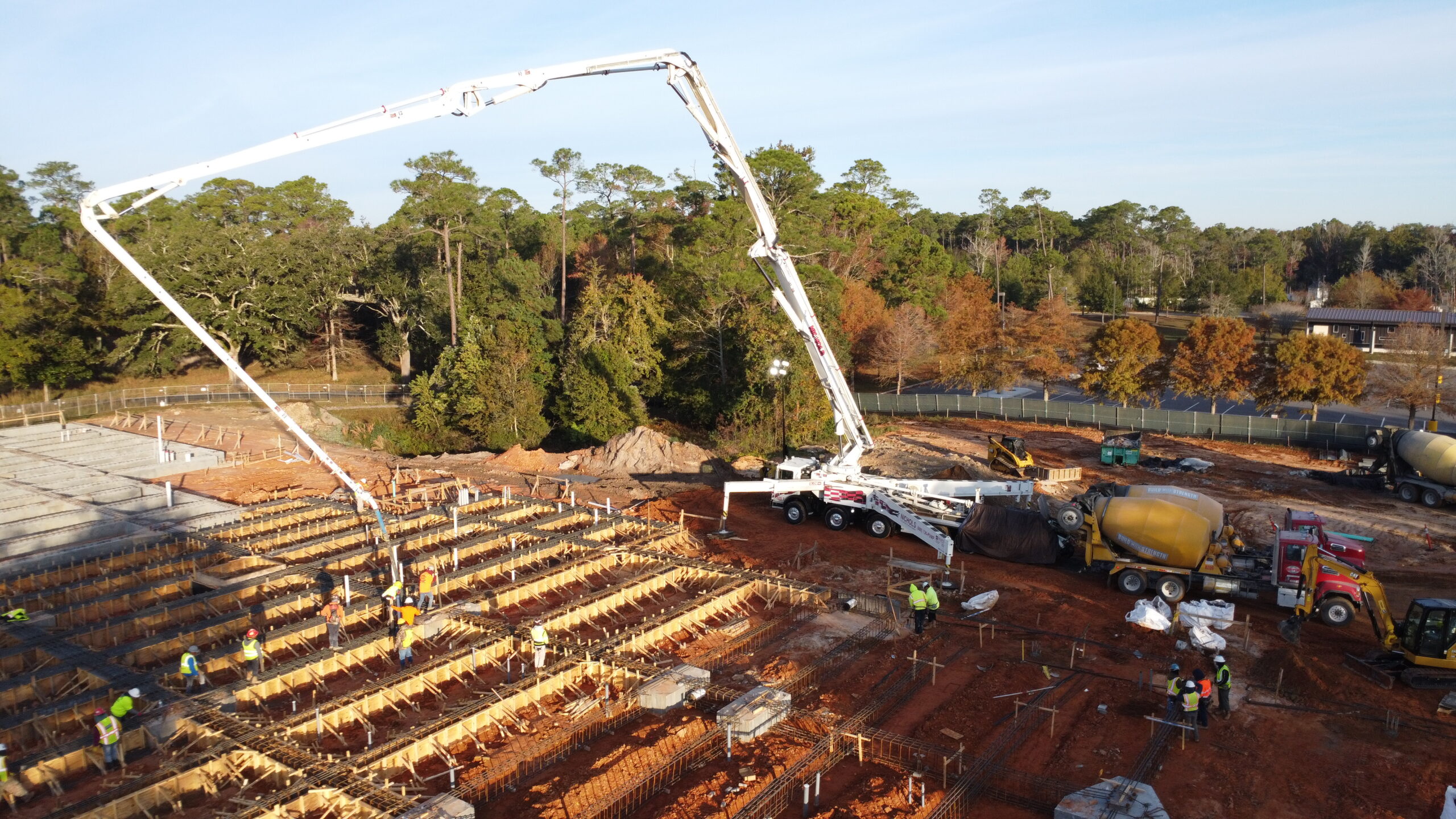
Eustis Engineering is currently executing Task 3, a geotechnical exploration at the Eden Isle Ring Levee Alignment. Five soil borings to 50-ft depths and sixteen cone penetration tests (CPTs) are slated to be performed utilizing a Geoprobe® 3230DT. Fifteen of the CPTs will extend to 50-ft depths, one CPT (CPT-24) will extend to the 120-ft depth, and three of the CPTs will be performed adjacent to the soil borings for correlation purposes. CPT-24 is to be performed where proposed pile supported structures (i.e., navigable flood gate and pump station) are anticipated.
The Eden Isle field exploration program is taking place along U.S. Highway 11. Eustis Engineering has implemented a traffic control program in accordance with an LaDOTD-approved traffic control plan. A two-man traffic control crew with appropriate signage is maintaining a safe working environment for our field crew and vehicular traffic due to the proximity to the road.